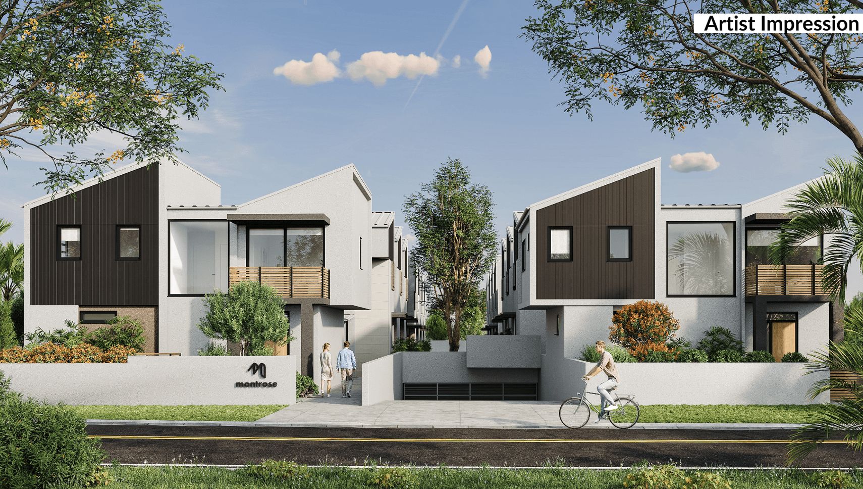
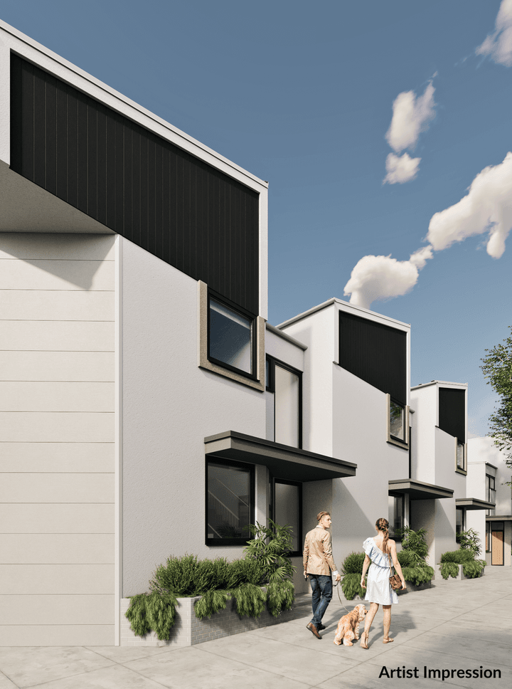

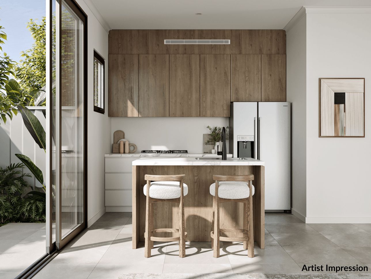
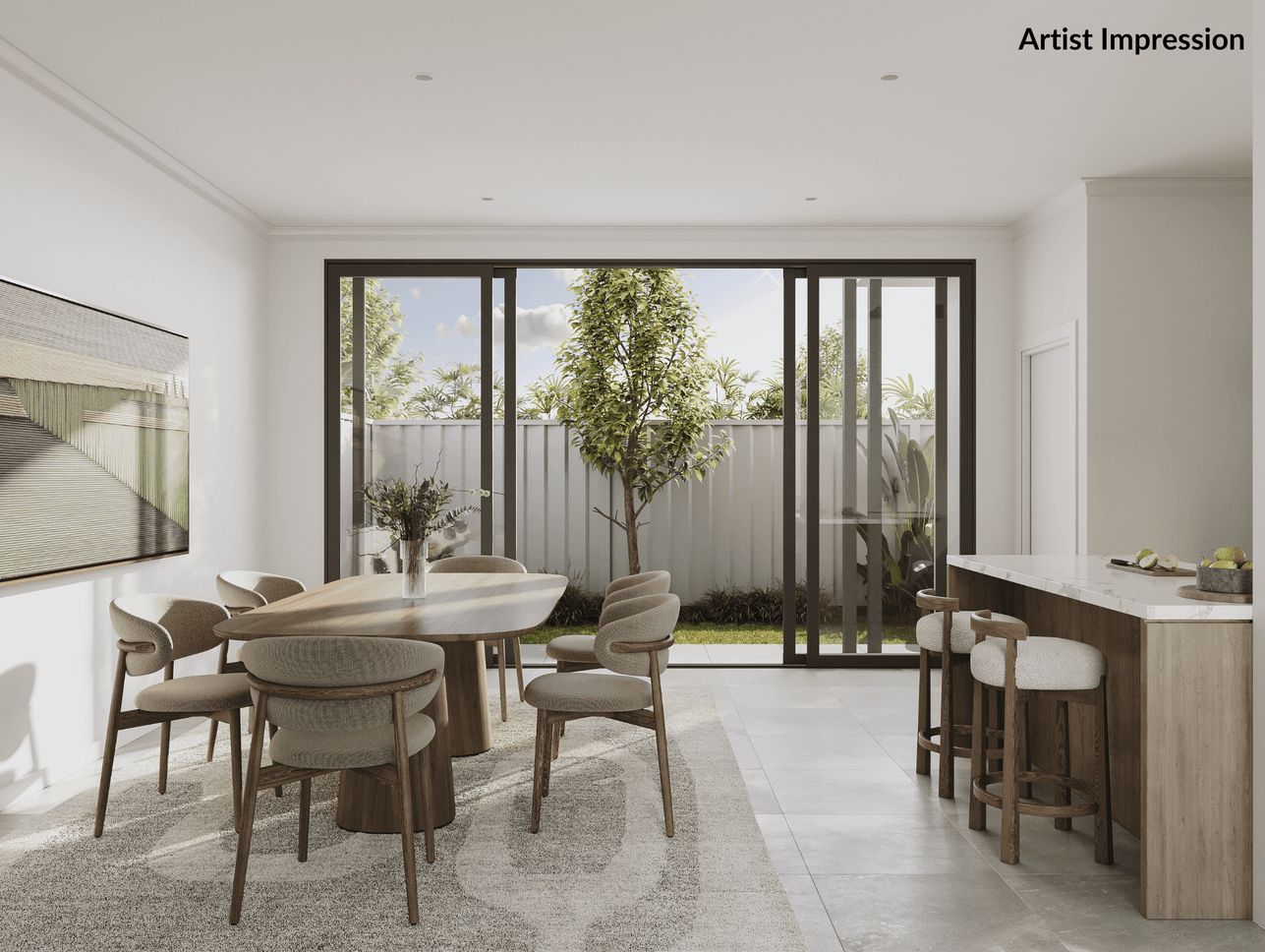


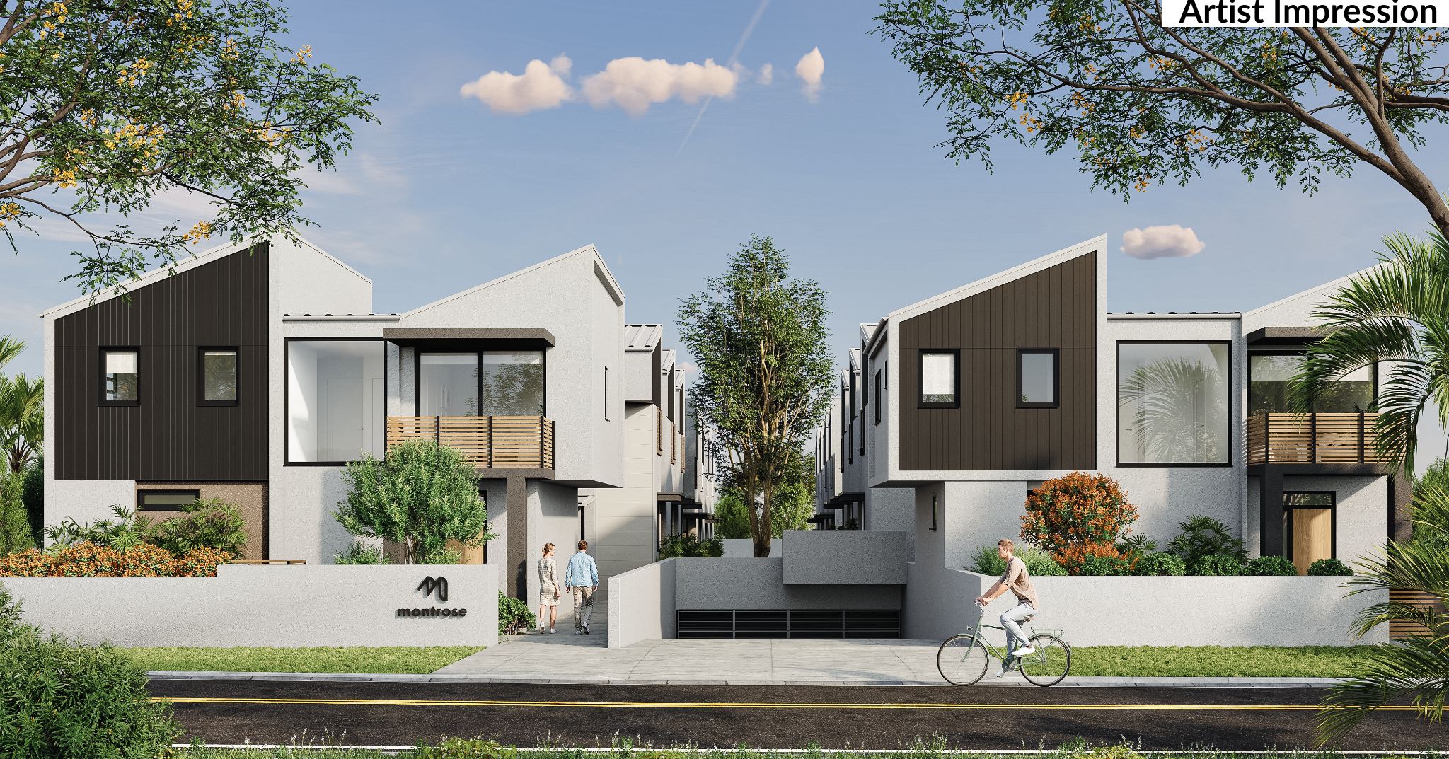
Montrose Townhouses - Oxley Park
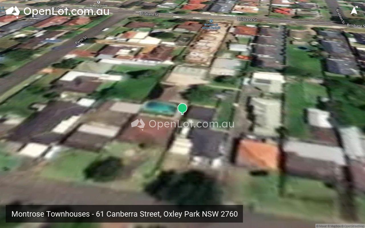
 61 Canberra Street, Oxley Park NSW 2760
This information is estimated by the OpenLot research team. Let us know here to provide up-to-date information about this development.
| Total new homes | 16 |
| Area size | 0.22 hectares |
| Growth Region | Sydney North West Growth Areas |
| City council | Penrith City Council |
| Developer | N/A |
| Project marketer | Ray White Diamantidis Group |
| Distance to | Sydney CBD - 38 km west Sydney Airport - 41 km north-west |
Townhomes:
Popular Estates near Montrose Townhouses - Oxley Park


 4
4  2.5
2.5  2
2


Updates for Montrose Townhouses - Oxley Park
Facebook updates:
Submit the Facebook page for Montrose Townhouses - Oxley Park.
Location & Map for Montrose Townhouses - Oxley Park
Visit Display Homes near Montrose Townhouses - Oxley Park


Vacancy Rate in Oxley Park NSW 2760
View full vacancy rate history in Oxley Park NSW 2760 via SQM Research.
Schools near Montrose Townhouses - Oxley Park
Here are 6 schools near Montrose Townhouses - Oxley Park:
P-6 Government Primary School
7-12 Government Secondary School
P-6 Government Primary School
K-6 Government Primary School
K-12 Independent Combined School
U Government Special School
Reviews & Comments on Montrose Townhouses - Oxley Park
Estate Brochure, Masterplan, Engineering Plan, Plan of Subdivision (POS), Design Guidelines
FAQs about Montrose Townhouses - Oxley Park
View all estates marketed by Ray White Diamantidis Group
- Oxley Park Public School - 512m south-west
- Colyton High School - 942m south
- Madang Avenue Public School - 1.5km north-east
- Bennett Road Public School - 1.6km south
- Bethel Christian School - 1.7km east
- Halinda School - 1.7km north-east
Popular Estates near Montrose Townhouses - Oxley Park
Latest New Home Articles for You

13/Mar/2025 | OpenLot.com.au
Home Building Hub Offers Expert Tips for Visiting Display Homes
The latest episode of "Home Building Hub," hosted by industry experts Col...
12/Mar/2025 | OpenLot.com.au
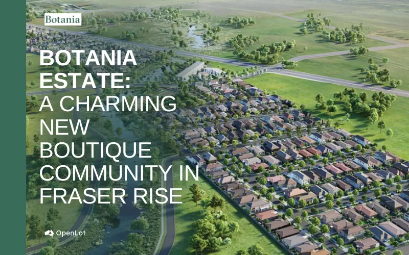
Display Homes at Botania Estate: A Charming New Boutique Community in Fraser Rise
Welcome to Botania Estate in Fraser Rise, where the charm of a boutique c...

11/Mar/2025 | OpenLot.com.au
4 Steps to Getting the Best Building Quotes
In the latest episode of the Home Building Hub podcast, hosts Colin Bisch...
10/Mar/2025 | OpenLot.com.au
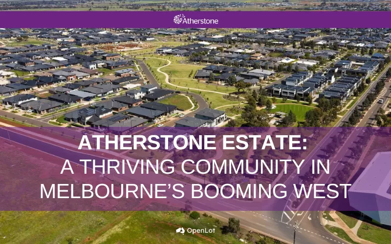
Display Homes at Atherstone Estate: A Thriving Community in Melbourne’s Booming West
Welcome to Atherstone, a vibrant and flourishing masterplanned community ...

07/Mar/2025 | OpenLot.com.au
Kaduna Park: A New Chapter in Officer South's Real Estate Story
Nestled in the scenic beauty of Officer South, Kaduna Park is a testament...
![[Feb/2025] Top Most Searched Housing Developments in Australia](https://files.openlot.com.au/p/styles/500h/s3/article/Thumbnail%20-%20Top%2030%20Most%20Searched%20Housing%20Developments%20%281%29.png.webp?itok=wtjvzwHK)
06/Mar/2025 | OpenLot.com.au
[Feb/2025] Top Most Searched Housing Developments in Australia
OpenLot provides a comprehensive overview of leading housing developments...

05/Mar/2025 | OpenLot.com.au
Display Homes at Alfredton Grove Estate: A Premier Community in Alfredton's Growing West
Alfredton Grove has become one of the most desirable residential communit...

04/Mar/2025 | OpenLot.com.au
Display Homes at Ooranya: Beveredige's Perfect Blend of Country Living and Modern Convenience
Nestled in the charming town of Beveridge, Ooranya is a community designe...

03/Mar/2025 | OpenLot.com.au
The Rise of Regional Living: Why More Australians are Moving Beyond Major Cities
In recent years, Australia has witnessed a significant shift in populatio...