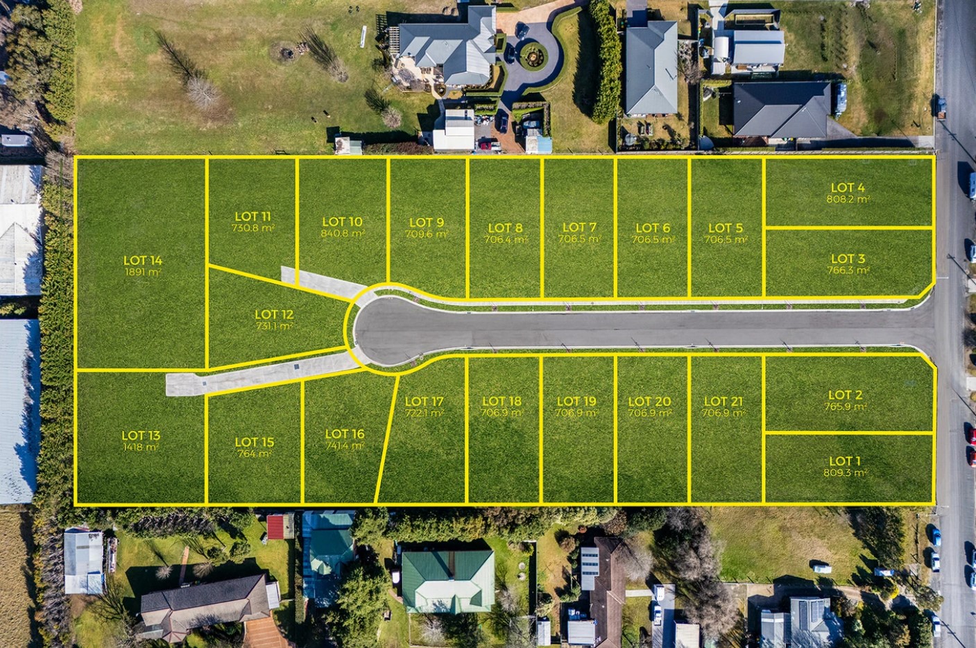
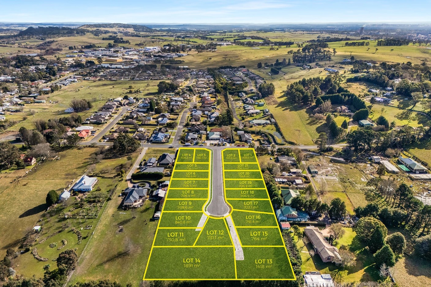
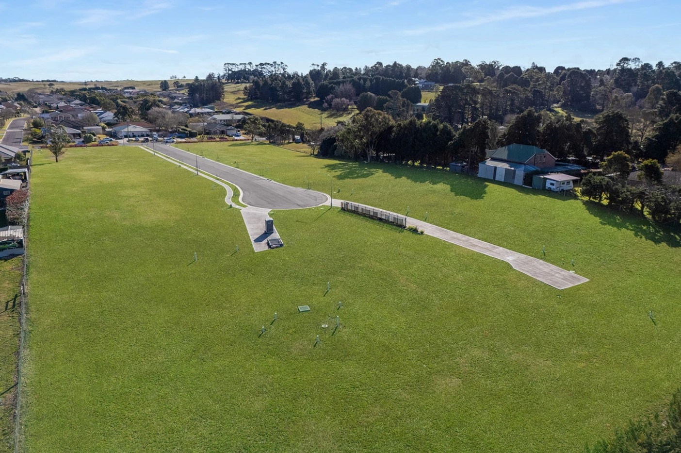
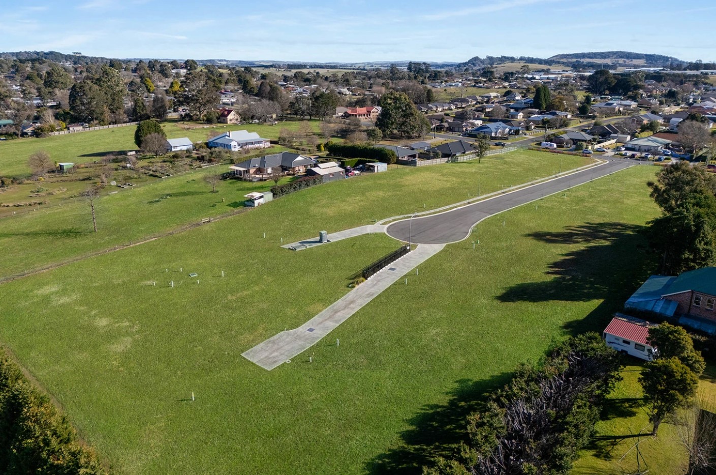
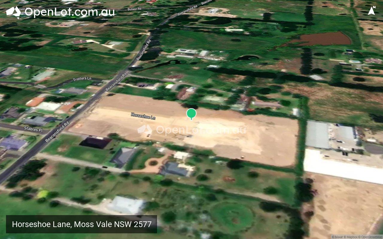
Horseshoe Lane, Moss Vale NSW 2577
This information is estimated by the OpenLot research team. Let us know here to provide up-to-date information about this development.
| Total new homes | 21 |
| Area size | 1.74 hectares |
| Growth Region | Wollongong (Illawarra-Shoalhaven Region) |
| City council | Wingecarribee Shire Council |
| Developer | N/A |
| Project marketer | Ray White Bowral |
Land for Sale, House and Land Packages:
Popular Estates near Horseshoe Lane, Moss Vale


 4
4  2.5
2.5  2
2


Updates for Horseshoe Lane, Moss Vale

Location & Map for Horseshoe Lane, Moss Vale
Visit Display Homes near Horseshoe Lane, Moss Vale


Vacancy Rate in Moss Vale NSW 2577
View full vacancy rate history in Moss Vale NSW 2577 via SQM Research.
Schools near Horseshoe Lane, Moss Vale
Here are 6 schools near Horseshoe Lane, Moss Vale:
K-6 Catholic Primary School
7-12 Independent Secondary School
K-6 Government Primary School
7-12 Government Secondary School
K-6 Independent Primary School
K-12 Independent Combined School
Reviews & Comments on Horseshoe Lane, Moss Vale
Estate Brochure, Masterplan, Engineering Plan, Plan of Subdivision (POS), Design Guidelines
FAQs about Horseshoe Lane, Moss Vale
View all estates marketed by Ray White Bowral
- St Paul's Catholic Primary School - 1.0km south
- St Paul's International College - 1.4km south
- Moss Vale Public School - 1.6km south
- Moss Vale High School - 2.0km south-east
- The King's School, Tudor House - 3.6km south-east
- Oxley College - 4.7km north
Popular Estates near Horseshoe Lane, Moss Vale
Latest New Home Articles for You

13/Mar/2025 | OpenLot.com.au
Home Building Hub Offers Expert Tips for Visiting Display Homes
The latest episode of "Home Building Hub," hosted by industry experts Col...
12/Mar/2025 | OpenLot.com.au
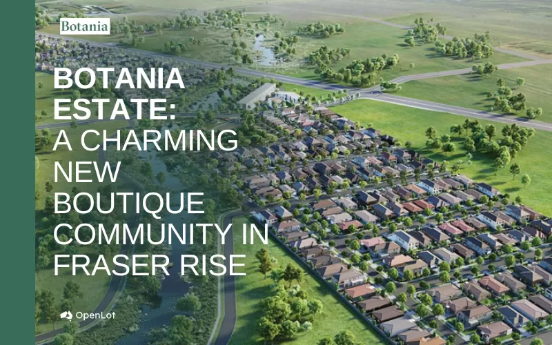
Display Homes at Botania Estate: A Charming New Boutique Community in Fraser Rise
Welcome to Botania Estate in Fraser Rise, where the charm of a boutique c...

11/Mar/2025 | OpenLot.com.au
4 Steps to Getting the Best Building Quotes
In the latest episode of the Home Building Hub podcast, hosts Colin Bisch...
10/Mar/2025 | OpenLot.com.au
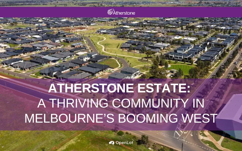
Display Homes at Atherstone Estate: A Thriving Community in Melbourne’s Booming West
Welcome to Atherstone, a vibrant and flourishing masterplanned community ...
07/Mar/2025 | OpenLot.com.au
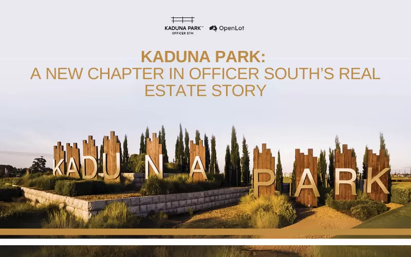
Kaduna Park: A New Chapter in Officer South's Real Estate Story
Nestled in the scenic beauty of Officer South, Kaduna Park is a testament...
![[Feb/2025] Top Most Searched Housing Developments in Australia](https://files.openlot.com.au/p/styles/500h/s3/article/Thumbnail%20-%20Top%2030%20Most%20Searched%20Housing%20Developments%20%281%29.png.webp?itok=wtjvzwHK)
06/Mar/2025 | OpenLot.com.au
[Feb/2025] Top Most Searched Housing Developments in Australia
OpenLot provides a comprehensive overview of leading housing developments...

05/Mar/2025 | OpenLot.com.au
Display Homes at Alfredton Grove Estate: A Premier Community in Alfredton's Growing West
Alfredton Grove has become one of the most desirable residential communit...

04/Mar/2025 | OpenLot.com.au
Display Homes at Ooranya: Beveredige's Perfect Blend of Country Living and Modern Convenience
Nestled in the charming town of Beveridge, Ooranya is a community designe...

03/Mar/2025 | OpenLot.com.au
The Rise of Regional Living: Why More Australians are Moving Beyond Major Cities
In recent years, Australia has witnessed a significant shift in populatio...