995 Numurkah Road, Katunga VIC 3640 IN PLANNING
This information is estimated by the OpenLot research team. Let us know here to provide up-to-date information about this development.
| Total new homes | 12 |
| Area size | 2.95 hectares |
| City council | Moira Shire Council |
| Developer | N/A |
Land for Sale, House and Land Packages:
Popular Estates near 995 Numurkah Road, Katunga


Updates for 995 Numurkah Road, Katunga
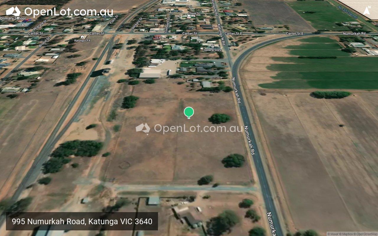
Location & Map for 995 Numurkah Road, Katunga
Vacancy Rate in Katunga VIC 3640
View full vacancy rate history in Katunga VIC 3640 via SQM Research.
Schools near 995 Numurkah Road, Katunga
Here are 6 schools near 995 Numurkah Road, Katunga:
Prep-6 Government Primary School
4-6 Government School
7-12 Government Secondary School
Prep-6 Government Primary School
Prep-6 Catholic Primary School
Prep-6 Government Primary School
Planning Applications for 995 Numurkah Road, Katunga
| Planning Application | Land report | Number of lots | Plan number | Land surveyor | Lodged date | Intended use | Settlement tracking |
|---|---|---|---|---|---|---|---|
| 995 Numurkah Road, Katunga VIC 3640 | 0 | , 5/2024/164 | /td> | 12 Lot Subdivision and Removal of Native Vegetation | Advertising Commenced |
Reviews & Comments on 995 Numurkah Road, Katunga
Estate Brochure, Masterplan, Engineering Plan, Plan of Subdivision (POS), Design Guidelines
FAQs about 995 Numurkah Road, Katunga
- Katunga Primary School - 535m north-west
- Katunga South Primary School - 1.8km south
- Numurkah Secondary College - 8.7km south
- Strathmerton Primary School - 8.9km north
- St Joseph's School - 9.5km south
- Numurkah Primary School - 9.9km south
Popular Estates near 995 Numurkah Road, Katunga
Latest New Home Articles for You

13/Dec/2024
The Aussie Dream Is Alive: Despite Worry That New Homebuyers Must Settle for Apartments, New Data Reveals Australians Buy Twice as Many New Houses as Units
MELBOURNE (15 October 2024) — The Australian Dream of owning a detached h...

10/Dec/2024
Data Reveals It Costs 57% More to Build a New House than Before Covid
MELBOURNE (10 September 2024) — Australians are spending as much as 57% m...

21/Nov/2024
Decoding Terms Found In Drawings & Plans
In the latest episode of "The Home Building Hub" podcast, hosts Colin Bis...

12/Nov/2024
Victoria: Top 30 Most Searched Housing Developments (October 2024)
We’re excited to present the top 30 most popular housing developments in ...

12/Nov/2024
Western Australia: Top 30 Most Searched Housing Developments (October 2024)
If you've ever envisioned calling Western Australia home, now is an excel...

12/Nov/2024
South Australia: Top 30 Most Searched Housing Developments (October 2024)
South Australia, celebrated for its breathtaking landscapes and vibrant c...

12/Nov/2024
New South Wales: Top 30 Most Searched Housing Developments (October 2024)
If you've considered making New South Wales your home, now is an ideal ti...

12/Nov/2024
Queensland: Top 30 Most Searched Housing Developments (October 2024)
Spanning the sunlit shores of Australia’s eastern coast, Queensland—affec...
![[Oct/2024] Top Most Searched Housing Developments in Australia](https://files.openlot.com.au/p/styles/500h/s3/article/Thumbnail%20-%20Top%2030%20Most%20Searched%20Housing%20Developments_0.png.webp?itok=YtDmCKiT)
06/Nov/2024
[Oct/2024] Top Most Searched Housing Developments in Australia
OpenLot offers an in-depth look at top housing developments making an imp...