17 Fields Road, Gleneagle QLD 4285 IN PLANNING
This information is estimated by the OpenLot research team. Let us know here to provide up-to-date information about this development.
| Total new homes | 32 |
| Area size | 2.88 hectares |
| Growth Region | Gold Coast Growth Areas & Scenic Rim |
| City council | Scenic Rim Regional Council |
| Developer | N/A |
| Distance to | Gold Coast CBD - 39 km west Brisbane CBD - 54 km south |
Land for Sale, House and Land Packages:
Popular Estates near 17 Fields Road, Gleneagle


 4
4  2
2  2
2


Updates for 17 Fields Road, Gleneagle
Facebook updates:
Related news:
Missing articles? Send us a link here.
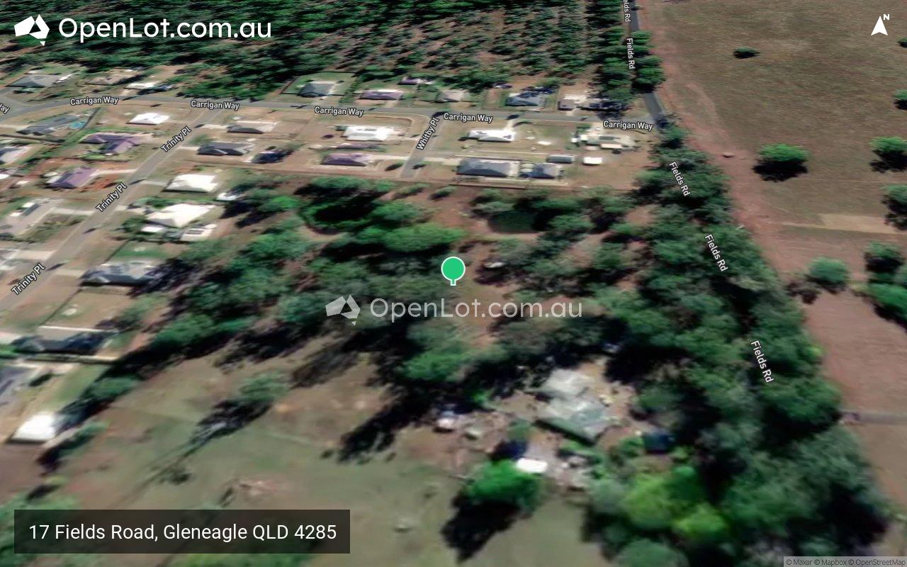
Location & Map for 17 Fields Road, Gleneagle
Visit Display Homes near 17 Fields Road, Gleneagle


Vacancy Rate in Gleneagle QLD 4285
View full vacancy rate history in Gleneagle QLD 4285 via SQM Research.
Schools near 17 Fields Road, Gleneagle
Here are 6 schools near 17 Fields Road, Gleneagle:
Prep-6 Government Primary School
7-12 Government Secondary School
Prep-6 Government Primary School
Prep-6 Government Primary School
7-12 Catholic Secondary School
Prep-6 Catholic Primary School
Reviews & Comments on 17 Fields Road, Gleneagle
Estate Brochure, Masterplan, Engineering Plan, Plan of Subdivision (POS), Design Guidelines
FAQs about 17 Fields Road, Gleneagle
- Gleneagle State School - 2.2km north-west
- Beaudesert State High School - 2.3km south
- Veresdale Scrub State School - 3.6km north-east
- Beaudesert State School - 4.3km south
- McAuley College - 4.6km south
- St Mary's School - 4.6km south
Popular Estates near 17 Fields Road, Gleneagle
Latest New Home Articles for You

20/Jan/2025
How to Choose the Perfect Floor Plan for Your Family
Choosing the perfect floor plan is one of the most important decisions yo...

14/Jan/2025
New South Wales: Top 30 Most Searched Housing Developments (December 2024)
If you’re thinking about making New South Wales your home, December is an...

13/Jan/2025
Victoria: Top 30 Most Searched Housing Developments (December 2024)
We’re excited to present the top 30 most popular housing developments in ...

13/Jan/2025
Western Australia: Top 30 Most Searched Housing Developments (December 2024)
If you’ve ever dreamt of making Western Australia your home, now is the p...

13/Jan/2025
South Australia: Top 30 Most Searched Housing Developments (December 2024)
South Australia, celebrated for its breathtaking landscapes and vibrant c...

13/Jan/2025
Queensland: Top 30 Most Searched Housing Developments (December 2024)
Stretching across the sunny eastern coast of Australia, Queensland, affec...
![[Dec/2024] Top Most Searched Housing Developments in Australia](https://files.openlot.com.au/p/styles/500h/s3/article/Thumbnail%20-%20Australia%20Top%20Most%20Searched%20Housing%20Developments%20%284%29.png.webp?itok=x1v7BbSx)
13/Jan/2025
[Dec/2024] Top Most Searched Housing Developments in Australia
OpenLot provides a comprehensive overview of leading housing developments...

13/Jan/2025
Budgeting for a New Build: What You Need to Know
Building a new home is an exciting journey, offering the chance to create...

13/Dec/2024
The Aussie Dream Is Alive: Despite Worry That New Homebuyers Must Settle for Apartments, New Data Reveals Australians Buy Twice as Many New Houses as Units
MELBOURNE (15 October 2024) — The Australian Dream of owning a detached h...