13-15 Richards Street, Loganlea QLD 4131 IN PLANNING
This information is estimated by the OpenLot research team. Let us know here to provide up-to-date information about this development.
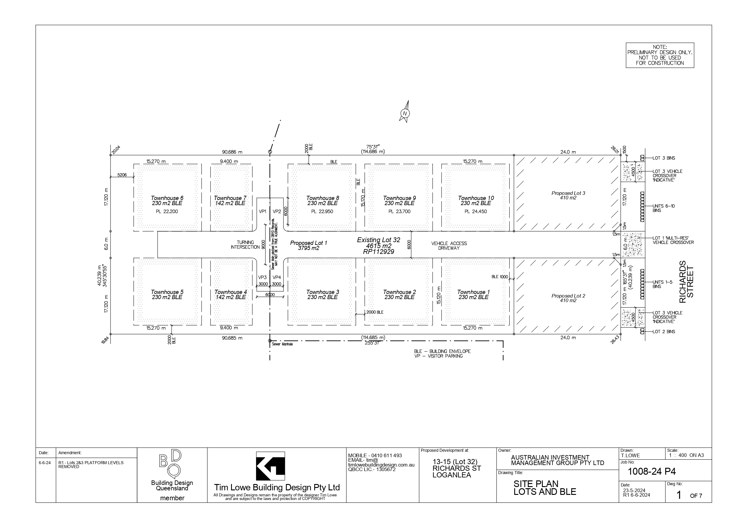
| Total new homes | 12 |
| Area size | 0.46 hectares |
| Growth Region | Greater Brisbane Growth Areas |
| City council | Logan City Council |
| Developer | N/A |
| Distance to | Brisbane CBD - 25 km south-east Brisbane Airport - 32 km south Gold Coast CBD - 46 km north-west |
Land for Sale, Townhomes:
Popular Estates near 13-15 Richards Street, Loganlea


Updates for 13-15 Richards Street, Loganlea
Facebook updates:
Submit the Facebook page for 13-15 Richards Street, Loganlea.
Related news:

Missing articles? Send us a link here.
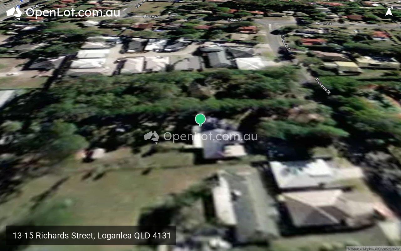
Location & Map for 13-15 Richards Street, Loganlea
Visit Display Homes near 13-15 Richards Street, Loganlea


Vacancy Rate in Loganlea QLD 4131
View full vacancy rate history in Loganlea QLD 4131 via SQM Research.
Schools near 13-15 Richards Street, Loganlea
Here are 6 schools near 13-15 Richards Street, Loganlea:
7-12 Government Secondary School
Prep-6 Government Primary School
7-12 Catholic Special School
7-12 Government Secondary School - School Head Campus
7-12 Government Secondary School
Prep-6 Government Primary School
Reviews & Comments on 13-15 Richards Street, Loganlea
Estate Brochure, Masterplan, Engineering Plan, Plan of Subdivision (POS), Design Guidelines
FAQs about 13-15 Richards Street, Loganlea
- Marsden State High School - 1.4km south-west
- Waterford West State School - 1.6km south-east
- The Centre Education Programme - 1.7km north-west
- Kingston State College - 1.9km north-west
- Loganlea State High School - 2.0km east
- Marsden State School - 2.0km west
Popular Estates near 13-15 Richards Street, Loganlea
Latest New Home Articles for You

13/Mar/2025 | OpenLot.com.au
Home Building Hub Offers Expert Tips for Visiting Display Homes
The latest episode of "Home Building Hub," hosted by industry experts Col...
12/Mar/2025 | OpenLot.com.au
Display Homes at Botania Estate: A Charming New Boutique Community in Fraser Rise
Welcome to Botania Estate in Fraser Rise, where the charm of a boutique c...

11/Mar/2025 | OpenLot.com.au
4 Steps to Getting the Best Building Quotes
In the latest episode of the Home Building Hub podcast, hosts Colin Bisch...
10/Mar/2025 | OpenLot.com.au
Display Homes at Atherstone Estate: A Thriving Community in Melbourne’s Booming West
Welcome to Atherstone, a vibrant and flourishing masterplanned community ...
07/Mar/2025 | OpenLot.com.au
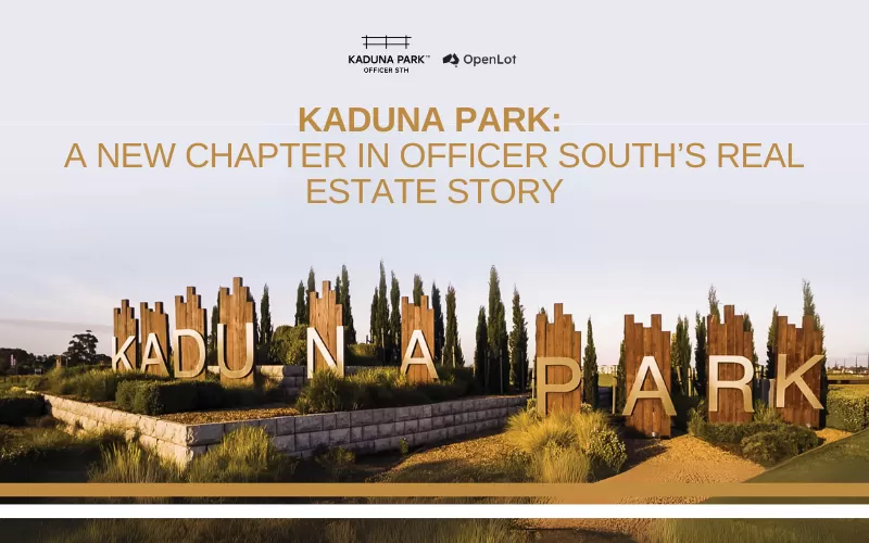
Kaduna Park: A New Chapter in Officer South's Real Estate Story
Nestled in the scenic beauty of Officer South, Kaduna Park is a testament...
![[Feb/2025] Top Most Searched Housing Developments in Australia](https://files.openlot.com.au/p/styles/500h/s3/article/Thumbnail%20-%20Top%2030%20Most%20Searched%20Housing%20Developments%20%281%29.png.webp?itok=wtjvzwHK)
06/Mar/2025 | OpenLot.com.au
[Feb/2025] Top Most Searched Housing Developments in Australia
OpenLot provides a comprehensive overview of leading housing developments...

05/Mar/2025 | OpenLot.com.au
Display Homes at Alfredton Grove Estate: A Premier Community in Alfredton's Growing West
Alfredton Grove has become one of the most desirable residential communit...

04/Mar/2025 | OpenLot.com.au
Display Homes at Ooranya: Beveredige's Perfect Blend of Country Living and Modern Convenience
Nestled in the charming town of Beveridge, Ooranya is a community designe...

03/Mar/2025 | OpenLot.com.au
The Rise of Regional Living: Why More Australians are Moving Beyond Major Cities
In recent years, Australia has witnessed a significant shift in populatio...